Residential segregation, daytime segregation and spatial frictions: an analysis from mobile phone data
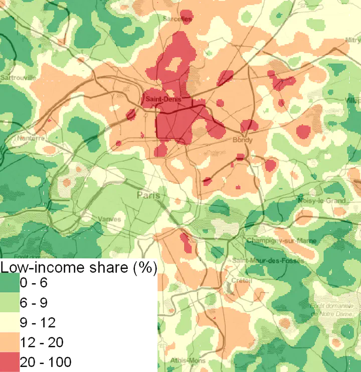
 Low-income distribution at 6am
Abstract
We bring together mobile phone and geocoded tax data on the three biggest French cities to shed a new light on segregation that accounts for population flows. Mobility being a key factor to reduce spatial segregation, we build a gravity model on an unprecedent scale to estimate the heterogeneity in travel costs.
Residential segregation represents the acme of segregation. Low-income people spread more than high-income people during the day. Distance plays a key role to limit population flows. Low-income people live in neighbourhoods where the spatial frictions are strongest.
Type
Publication can be downloaded there